Full Title: Global Analysis - June 2015
Author(s): U.S. National oceanic and Atmospheric Administration (NOAA)
Publisher(s): U.S. National oceanic and Atmospheric Administration (NOAA)
Publication Date: July 1, 2015
Full Text: Download Resource
Description (excerpt):
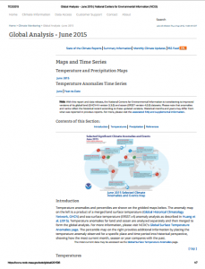
Temperature anomalies and percentiles are shown on the gridded maps below. The anomaly map on the left is a product of a merged land surface temperature (Global Historical Climatology Network, GHCN) and sea surface temperature (ERSST.v4) anomaly analysis as described in Huang et al. (2015). Temperature anomalies for land and ocean are analyzed separately and then merged to form the global analysis. For more information, please visit NCDC’s Global Surface Temperature Anomalies page. The percentile map on the right provides additional information by placing the temperature anomaly observed for a specific place and time period into historical perspective, showing how the most current month, season or year compares with the past.